Maps
Empowering Geospatial Intelligence: A New Dimension in Monitoring and Management
Today, visualizing data in a geographic context is essential for making strategic decisions with speed and precision. Modern mapping platforms go beyond static maps and offer a dynamic and customizable canvas for representing real-time information.
These solutions enable smooth navigation experiences, adapted to client needs, from visualizing complex data to route optimization. Additionally, they offer unprecedented levels of customization: from the colors and styles of the base map to direct interaction with information. All of this paves the way for next-generation monitoring and logistics solutions.
Netsocs: Smart Iconography and Dynamic Zones
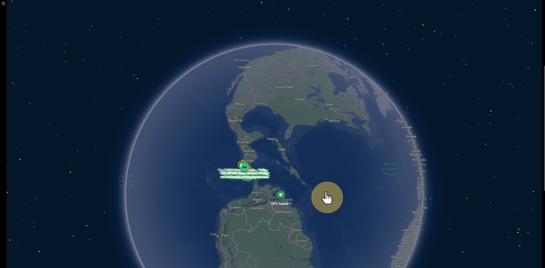
Leveraging this advanced technology, Netsocs develops highly specialized visualization tools. The first step is creating custom iconography that clearly and directly represents each client's assets and events.
Instead of generic dots, Netsocs designs unique icons for vehicles, sensors, technicians, or alerts, facilitating immediate interpretation.
Iconography options and features:
- Real-Time Information: When selecting a vehicle icon, the operator can see speed, fuel level, engine temperature, and driver name.
- Direct Actions: From the map, a smart lock icon can enable actions such as "lock" or "unlock".
- Route History: Allows replaying an asset's routes over a specific period.
- Dynamic Visual State: Icons change color or shape according to state. Example: a technician can appear in green (available), orange (en route), or red (on site).
Smart zones (geofences) based on iconography:
- Security Zones: Monitoring of critical facilities, with immediate alerts if unauthorized opening occurs.
- Operational Zones: Delimitation of service areas by technician, to automatically assign requests to the nearest resource.
- Exclusion Zones: Definition of restricted or dangerous areas. If a vehicle enters, both the driver and the monitoring center are notified.
Benefits for a Monitoring Center
The adoption of these capabilities offers key advantages:
- Greater situational awareness: Immediate visual overview of the entire operation, without relying on complex reports.
- Fewer human errors: Automated alerts that reduce manual supervision and prevent critical events from being overlooked.
- Resource optimization: Better allocation of technicians, routes, and vehicles, with time and fuel savings.
- Faster responses: Identification of the nearest resource in an emergency, with suggested routes and centralized coordination.
Usage Examples and Additional Applications
These capabilities apply to multiple systems and devices:
- GPS Systems
- Fleet Management: Real-time location of trucks, speed control, unauthorized stops, and delivery optimization. Geofences that automatically register arrivals and departures.
-
Personnel Security: Tracking of guards or field technicians, with "panic button" that generates a priority alert.
-
Smart Locks
- Remote Access Control: Monitoring of containers or warehouses and authorized opening from the map when a vehicle is in the correct zone.
-
Complete Audit: Each opening is recorded with exact time and location, accessible by clicking on the icon.
-
IoT and Devices like "Octopus"
- Comprehensive Monitoring: A single icon can represent a container with temperature, humidity, impact, and light sensors, displaying all data in one click.
- Preventive Alerts: If temperature goes out of range during vaccine transport, a critical alert is generated before the load is compromised.
- Cargo Protection: If door opening is detected outside an authorized zone, an immediate alarm is triggered to prevent theft.